About
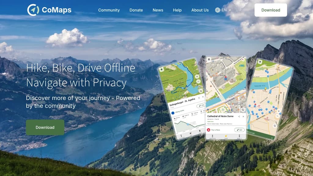
Navigate the world with complete privacy and freedom using this community-driven offline maps application. Whether you're hiking remote trails, biking through cities, or driving cross-country, explore confidently without internet connectivity or privacy concerns. Key features include: The app leverages open-source maps and is audited for privacy compliance. Search for waypoints on distant hiking trails, find bike paths in unfamiliar cities, or navigate driving routes without compromising your personal information. As a fork of Organic Maps and Maps.Me, this project puts community collaboration and user privacy at the forefront of digital navigation, giving you the freedom to discover more of your journey on your own terms.